The long straight road before us was lined with eucalyptus trees and golden fields on either side. Sheep clustered under lone trees. A herd of cattle looked up as we approached and watched us intently. Trin and I simultaneously raised our hands. Waving we both said, “Hi” as if greeting old friends not seen for a while. Then we looked at each other and started to laugh. We still don’t know why, but there was something in the way the sheep looked at us that compelled us both to respond to their intent stares.
An hour north of the coast where we just concluded our exploration of The Great Ocean Road, our next destination came into view. The plain that we had been driving over was changing in the distance. Gentle western slopes rose from the horizon, their eastern edge broken, creating a steep jagged escarpment that pointed toward the sky. This was our first glimpse of the Grampians.
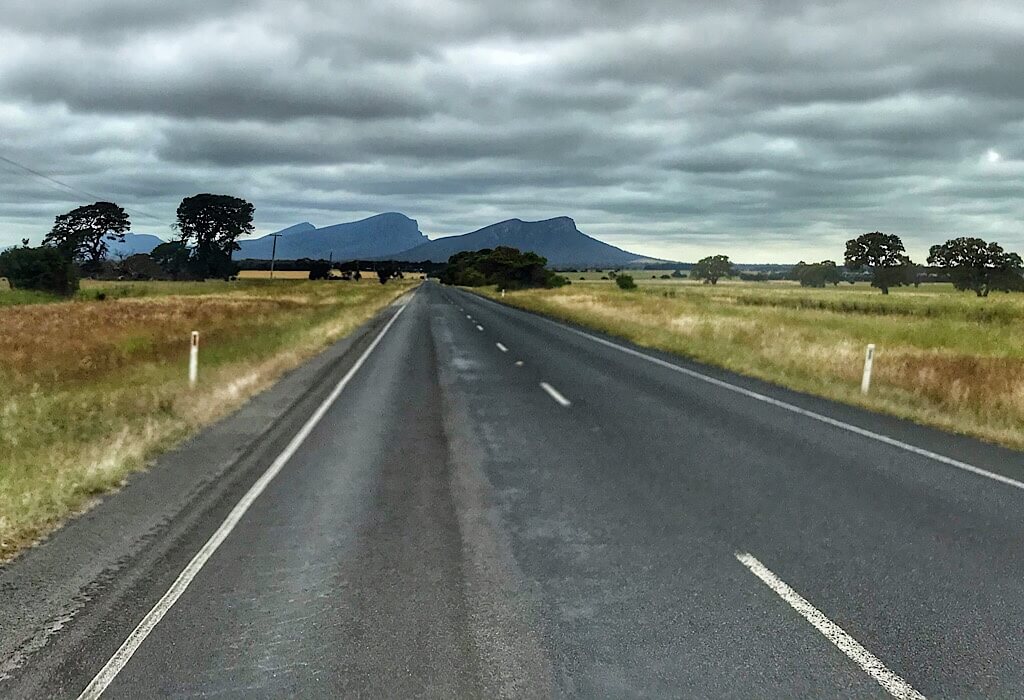
Mt Abrupt
After entering the Grampians region that begins in Dunkeld in the south, we parked at the base of Mt. Abrupt to follow a winding trail to signal peak that rises 780 meters (2,500 feet) above sea level.
We climbed our way along the broken edge of the layered sandstone traversing sections of the trail that had been washed away in landslides after previous rainstorms. The trails have been repaired but the signs still posted warnings about dangers during the rain. As we ascended, the plain to the east stretched out as far as our eyes could see, its level above the sea ranges from only 200-250 meters (650-820 feet). The varying shapes of properties and farms below were outlined with trees. A few watering holes sparkled in the sun.
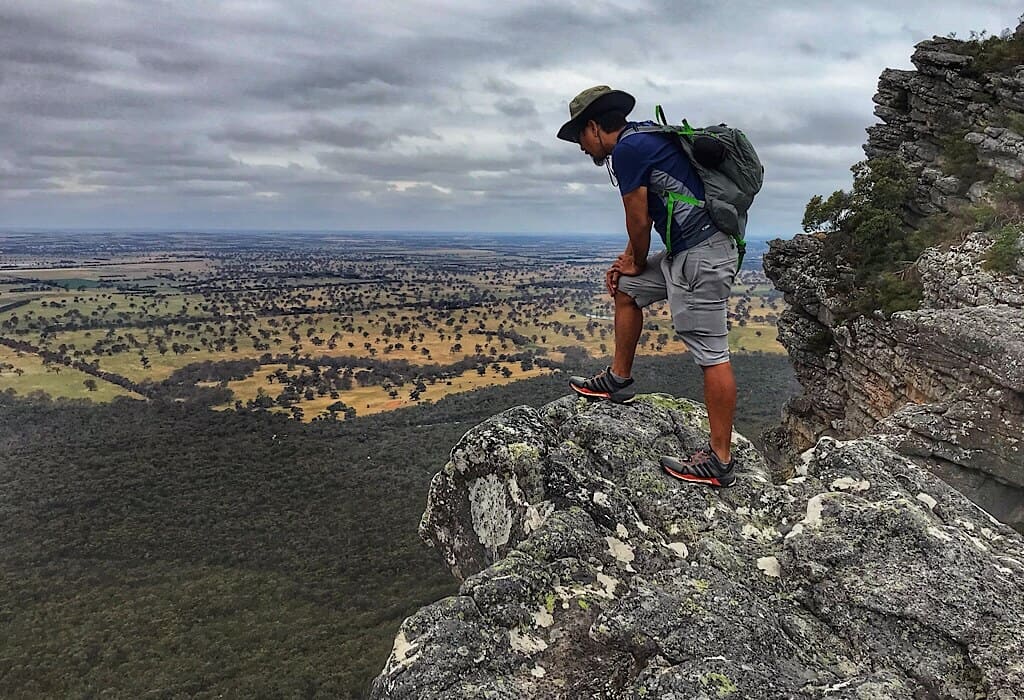
Signal Peak
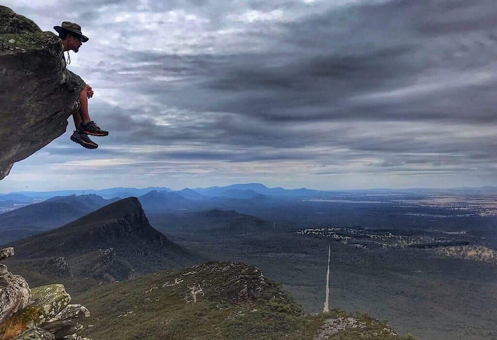
From Signal Peak we could see the entire southern range. We could almost visualize the movement of the stacked layers of sandstone along a waning crescent-shaped minor fault. One side thrusts skyward while the other lay flat, the energy from the movement having been dissipated along the curved line. Just behind us, a smaller range of hills lay as if they were a wrinkle that occurred from the force of the initial movement.
This was such a unique vantage point, to be able to see and almost visualize the entire catastrophic occurrence that created this range. While exploring the Andes we saw many viewpoints from Santa Cruz and The Sacred Valley, and down through the Patagonia region. We pieced them together in our heads for a better overall impression of the movements of the earth, but even then, without satellite or maps, it would be impossible to understand it as a whole. Here, from one spot, we could see the entire geological tale spoken by the rocks.
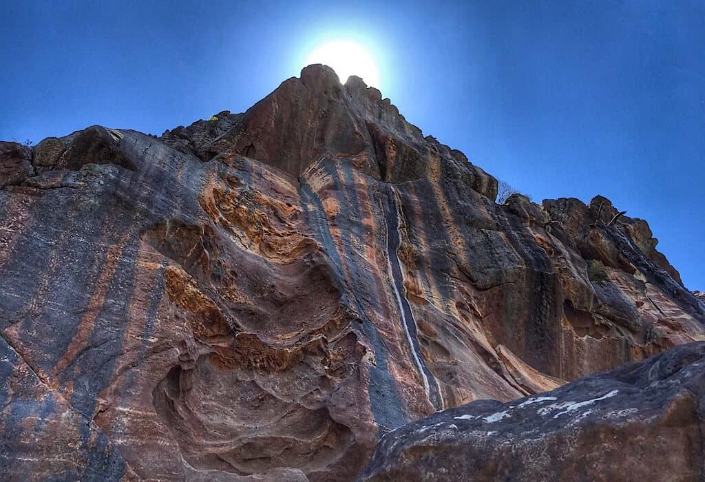
We stopped often both on the ascent and descent just to take in the views. They made me giddy with excitement. We could see the power of movement in the ground below from many eons ago. She now lay unmoving, her story vividly on display.
Snakes and Ants
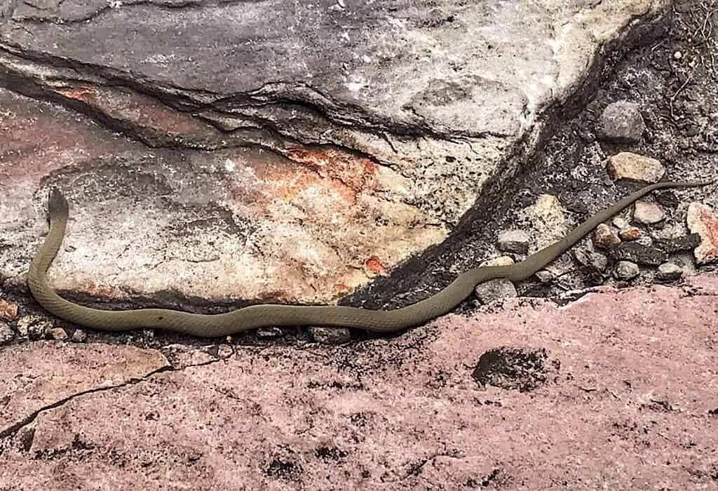
Along the way, we also got to see our first brown snake. This venomous little creature is responsible for about half of the snake bite deaths in Australia. On average there are two deaths a year in Australia due to snake bites. In contrast, over 4,800 deaths occurred in 2017 with diabetes as the underlying cause.* That puts the danger of this beautiful little guy in perspective. Since it was lazily sunning itself in the middle of the trail we had to wait for it to move away. Eventually, I took a small pebble and threw it next to the snake to get it to move on.
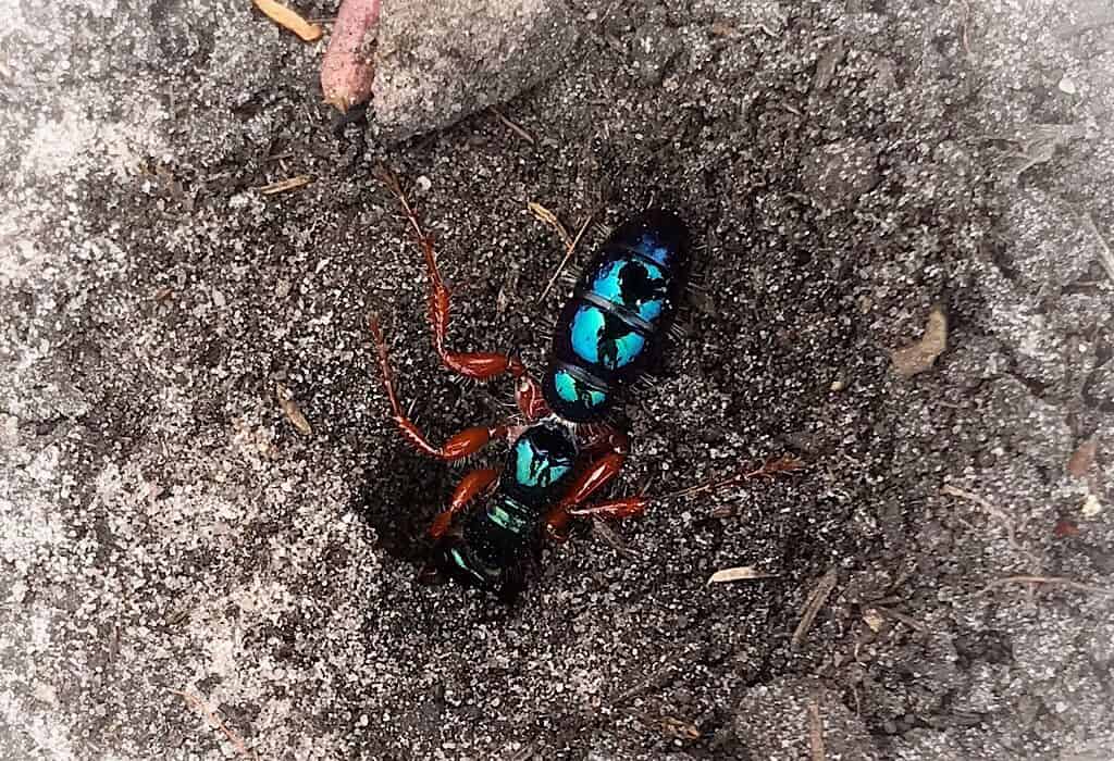
I was very excited to finally get a picture of the Blue Ant, one of the longest ants I’ve ever seen. We first saw these metallic blue creatures with polished copper legs while hiking in Wilson’s Promontory. Generally, when we see them they are scurrying around haphazardly as if in a panic. It was impossible to get a picture until now. This one was so focused on digging a hole that it was totally unaware of our presence. Here is the catch: The Blue Ant is actually not even an ant. It is a flightless wasp – yikes!
Venus Baths
In the heart of the Grampians, we chose the Wonderland Loop Walk to explore rivers and viewpoints the following day. The unusual rock sculptures carved by wind and water were a favorite of the early settlers. They were so fascinated with the unique formations that they named this area of the Grampians the Wonderland Range.
The beginning of the trail meanders next to Stony River where water glides over its sandstone bed. We followed this into the Venus Baths where the river bed contains various-sized round holes. They looked like finely chiseled spas. I could see why the early settlers would want to laze around here on a hot sunny afternoon.
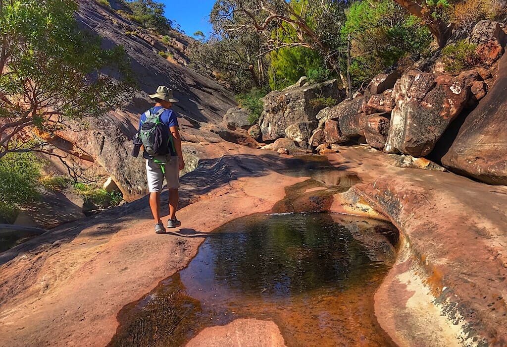
The spas are all formed by nature. As water flows over the sandstone riverbed it smooths the surface as it gradually wears it down. When a harder rock is embedded in the sandstone erosion will eventually break it loose by washing away the sandstone around it. Once loose, the rock begins to swirl around knocking at the sides of the sandstone pushed by the force of the water. Round and round it goes creating the smooth-sided spas still being formed by wind and water today.
Sometimes the rocks that created the spas still rest at the bottom of the holes. The Venus Baths reminded us of the Gachas in Guadalupe Colombia. The ones in Colombia were much bigger and the surrounding landscape vastly different yet unique in its own way.
The Canyon
I love rocks, all shapes, and sizes. They fascinate me. I’m more likely to take a rock home as a souvenir than anything else. An entire canyon of rocks is like cream cheese frosting on a carrot cake.
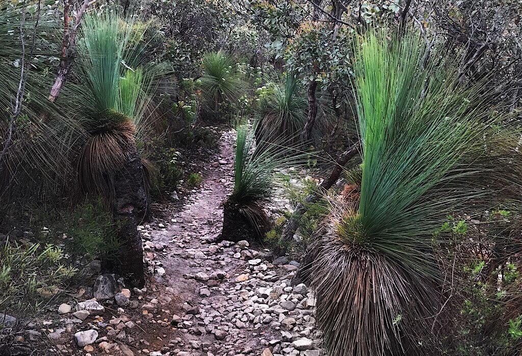
As the Wonderland Trail entered into a narrow canyon, shadows covered us and the air-cooled. A small stream trickled down the center of the canyon, but watermarks reflected evidence of flash floods that sometimes flow through this narrow gap in the mountain. Water and wind created creases in the sandstone stacks of the cliff edges. The stone looked like the wrinkled skin of an aged elephant.
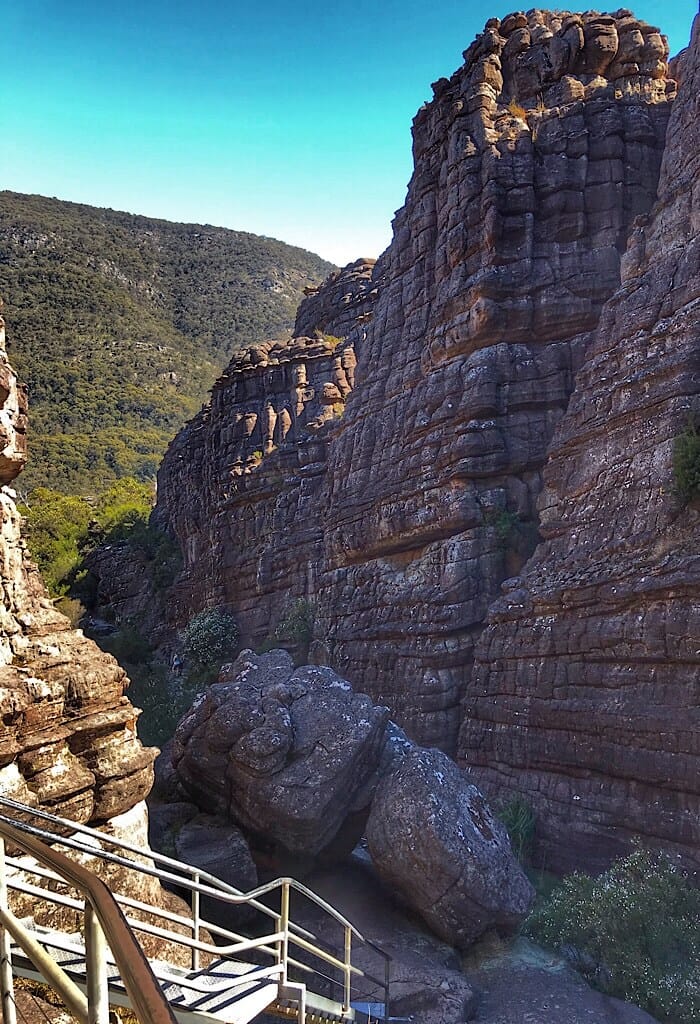
Silent Street
Nearing the top of the trail the path narrowed again leading us through the final canyon. The sign told us that we were about to enter “Silent Street.” This part of the trail was like a tiny street ascending through the crevice of a split rock. The sounds of the wind were blocked out by the narrow openings at both ends. When we emerged from the canyon the street ended at the top in a viewpoint called Pinnacle Peak.
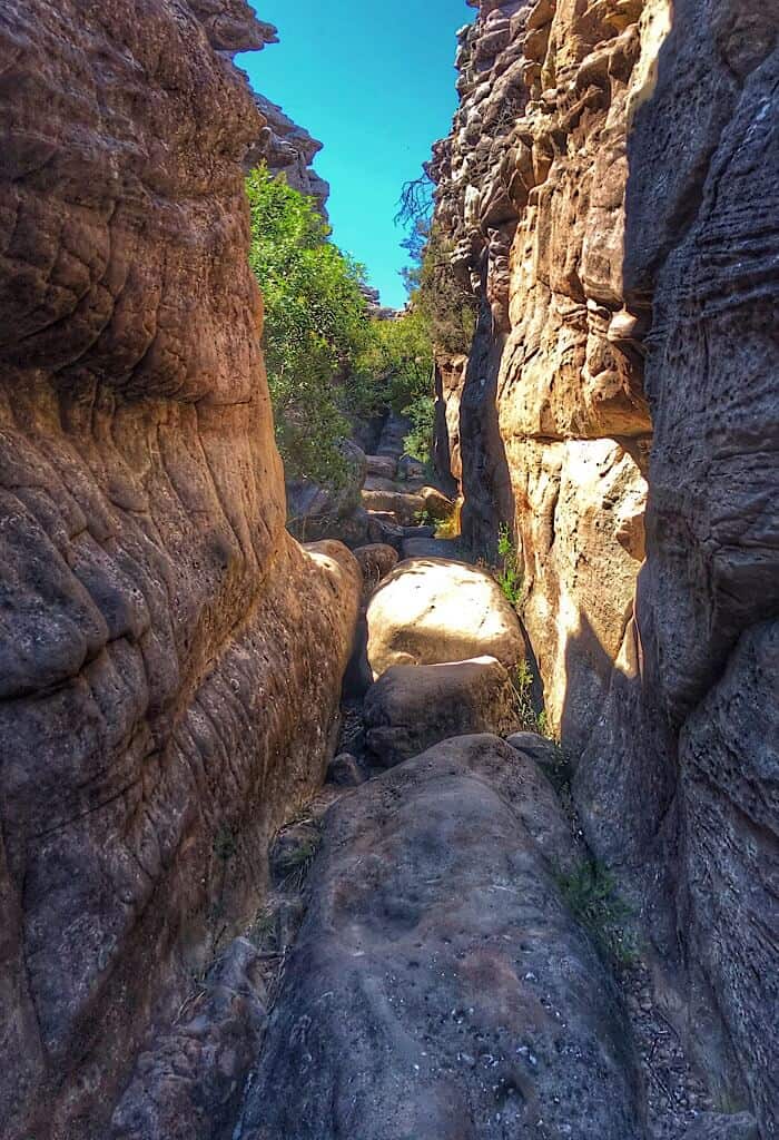
Just a short distance from the end of Silent Street we were peering over the cliff edge. From there we could see the plains below Pinnacle Lookout (where the featured image for this post was taken)
MacKenzie Falls
We stopped at a few other lookouts. To finish off the day took the 262 stairs down to MacKenzie Falls.

Note: Quoted elevation levels in this article coincide with topographical map websites and the official Visit Victoria website (Victoria is the state in which the Grampians National Park is located) and their agricultural site. There are various high ranking web sites that quote other elevations for the same places, but they are not listed as scientific or official sites.
*Diabetes death rate


Would not want to meet up with the brown snake or the blue ant. Yuck! Absolutely gorgeous pictures of your hikes though.
Thank you Jackie
I took the kids here YEARS ago for a holiday. Beautiful place.