Torres del Paine in the Patagonia Region

Patagonia

These photos are part of the story told in No Home Address.

Patagonia

Map of the Patagonia region
Overview of the Patagonia region

The Carretera Austral

The Carretera Austral is Patagonia’s legendary highway, carved through fjords and forests. It was built by military conscripts under Pinochet to connect remote regions.
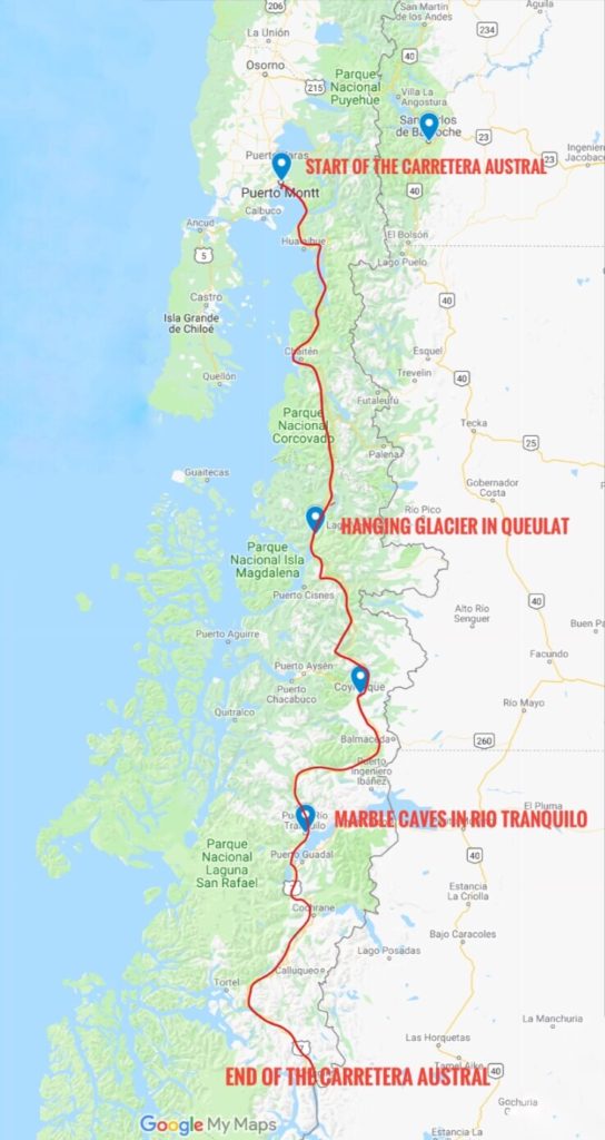
Map of the Carretera Austral scenic route in the Patagonia region
Map of the Carretera Austral scenic route

Bariloche

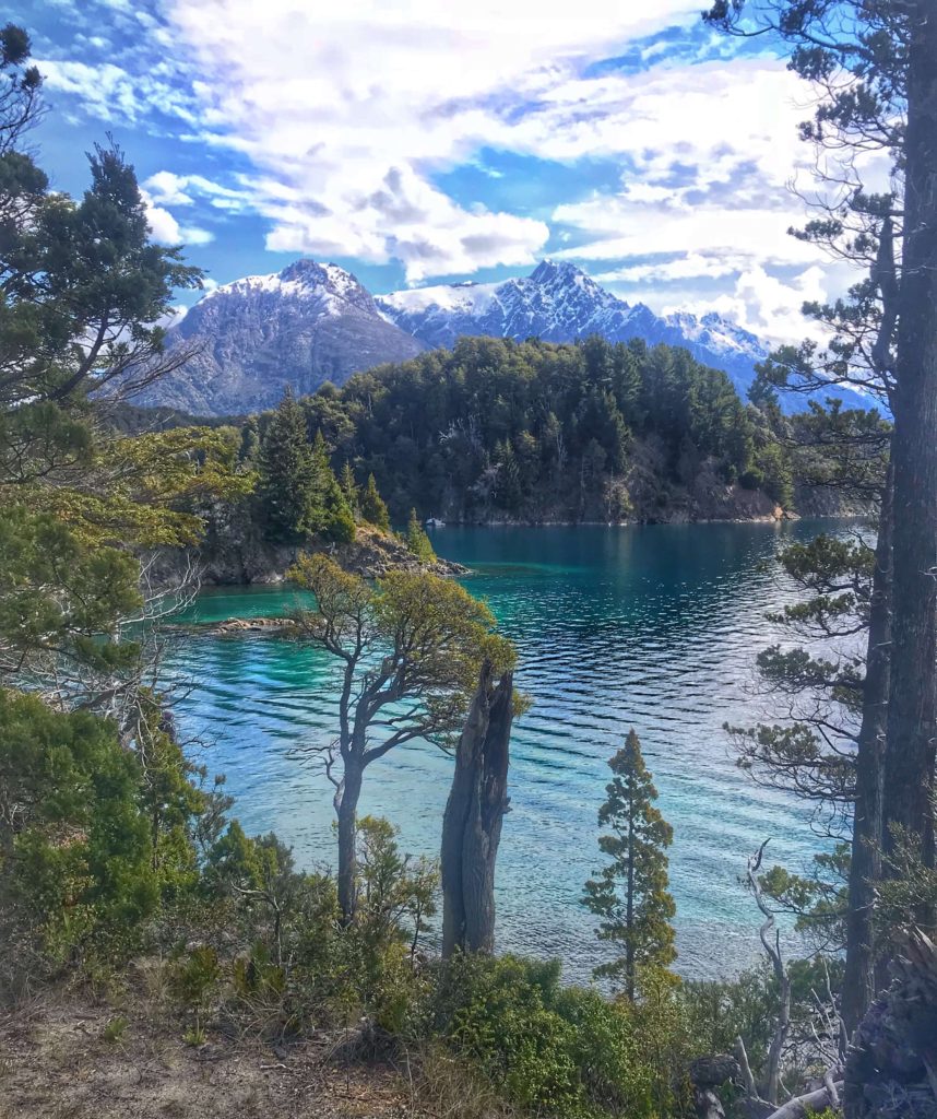
View of lakes above Bariloche Argentina
Bariloche on the shore of Nahuel Huapi Lake
Hike just outside of Bariloche Argentina with snow capped mountains
Trail near the ski lodge above Bariloche Argentina
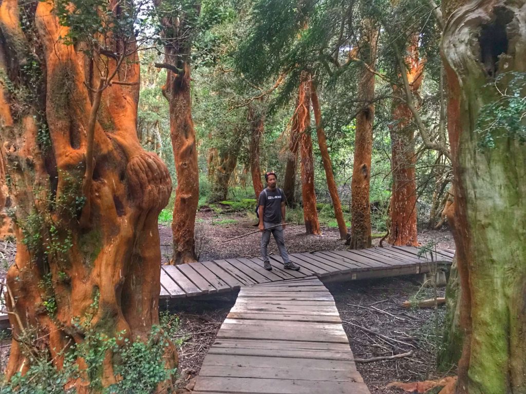
Red Arrayan trees in Bariloche Argentina
The red Arrayan trees
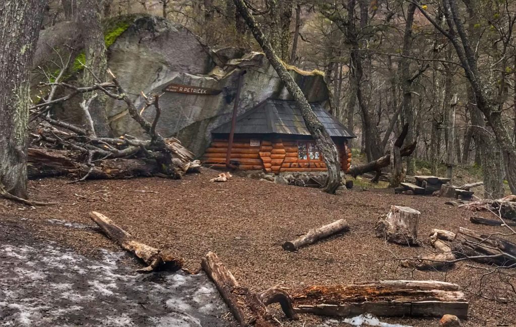
Shelter using a natural rock formation for two sides and the roof near Bariloche Argentina
Piedritas-Refugio on the way to Refugio Frey

Río Tranquilo

The Marble Caves Chile
The clear waters and designs of the marble caves Chile
The clear waters and designs of the marble caves
The carved marble on lake General Carrera Lake; Marble Caves Chile
The carved marble on lake General Carrera Lake
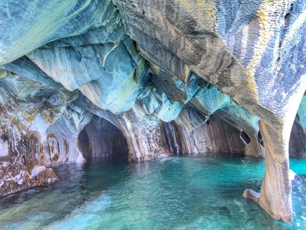
Inside the Marble Caves Chile
Inside the Marble Cave
Approaching the Marble Caves Chile
Approaching the Marble Caves
Floating through a marble tunnel; Marble Caves Chile
Floating through a marble tunnel
Town of Rio Tranquilo
The town of xx was in bloom. From here we took the boat to the marble caves Chile
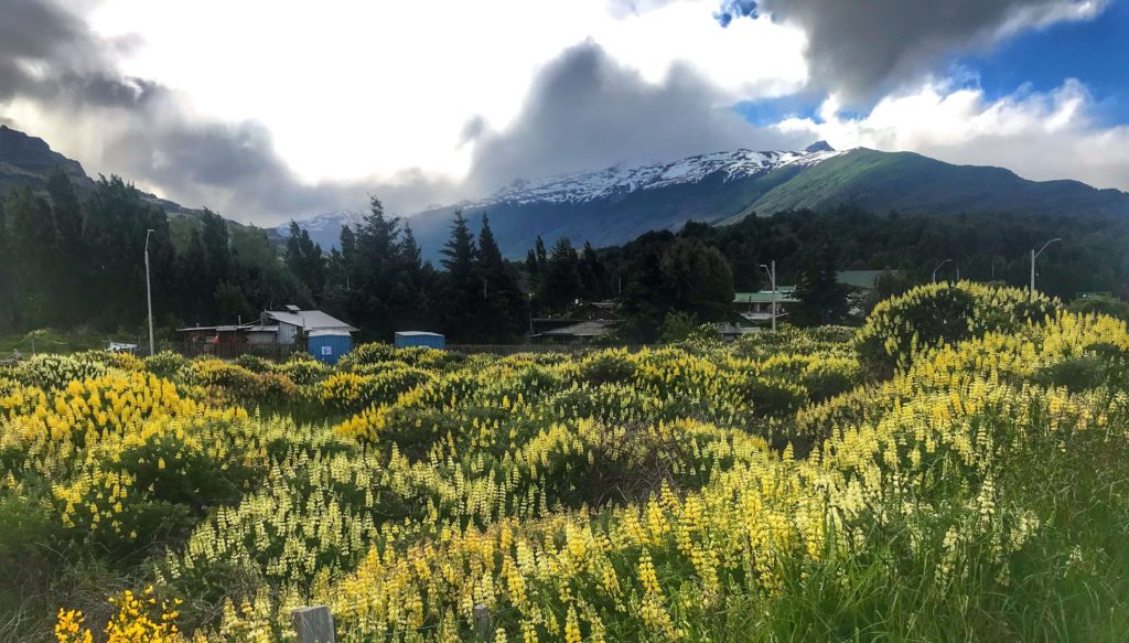
The town of Río Tranquilo was in bloom. From here we took the boat to the marble caves

Road of the Seven Lake

Trin on a log on Largo Hermosa
Largo Hermosa
Shortest river near Bariloche Argentina

Coyhaique

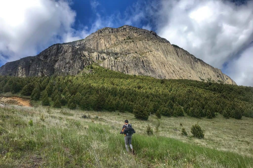
Mountain in Coyhaique with beautiful views in the Patagonia region
Cerro Mackay in Coyhaique with beautiful views
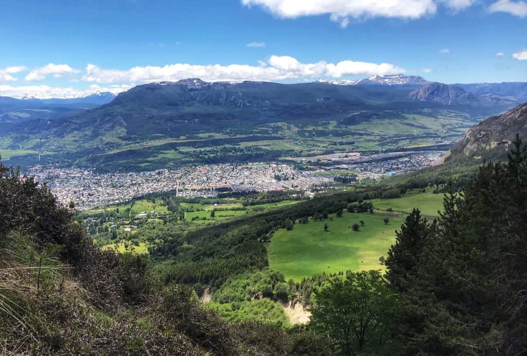
View of Coyhaique from partway up the mountain in the Patagonia region
View of Coyhaique from partway up Cerro Mackay

Cerro Castillo

Snow crossing on the way to the Cerro Castillo Laguna
Snow crossing on the way up Cerro Castillo
Just emerging from the tree line on the trail to Cerro Castillo
Cerro Castillo Hiking trail
Heading toward the jagged peaks of Cerro Castillo in the distance
View from the outhouse at the horse corral on the trail to Cerro Castillo
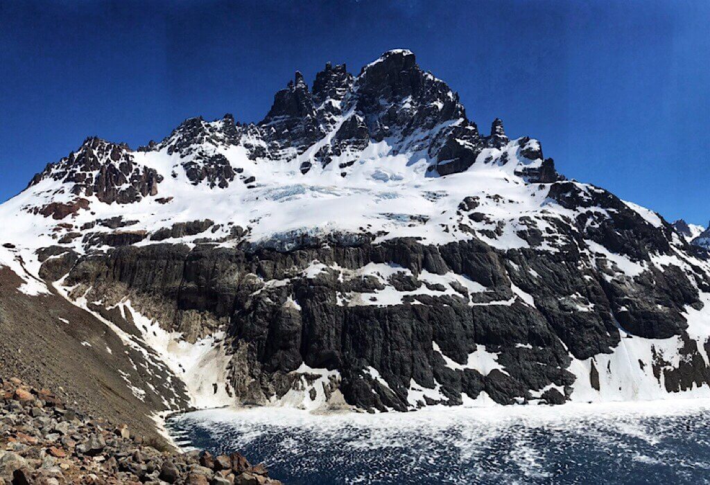
The majestic basalt spirals of Cerro Castillo & her Laguna
The majestic basalt spirals of Cerro Castillo

Puerto Rio Tranquilo

The carved marble on lake General Carrera Lake; Marble Caves Chile
The carved marble on General Carrera Lake

Los Glaciares National Park

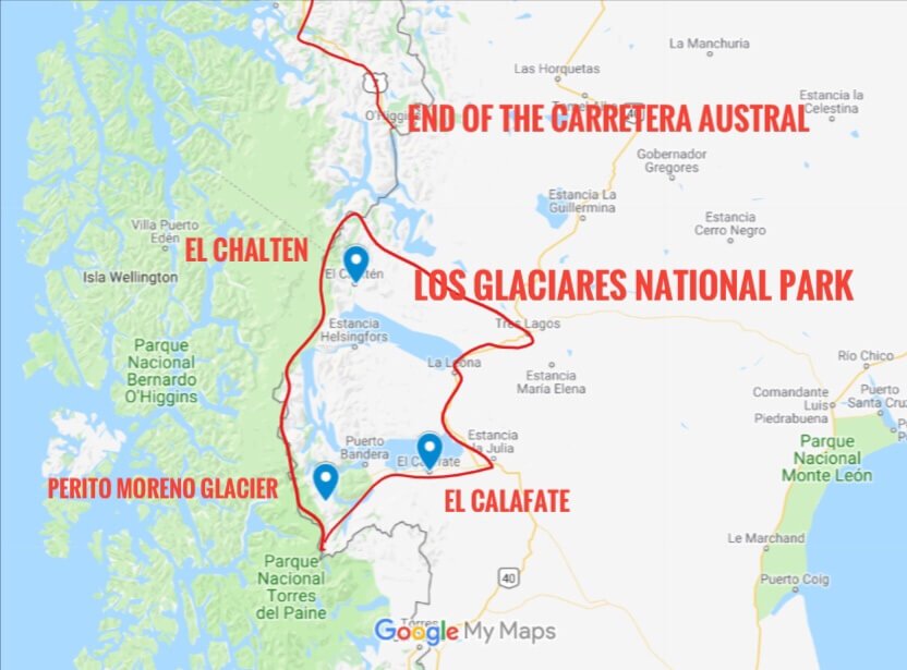
Map of the Los Glacieres National Park located in the Patagonia region
Map of the Los Glacieres National Park

El Chalten

Fitz Roy; El Chalten
Fitz Roy
The town of El Chalten
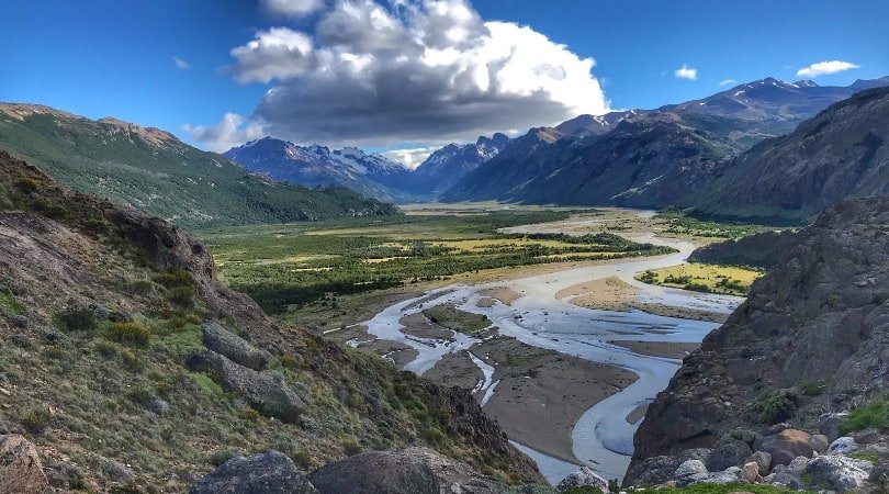
Valley of El Chalten
El Chalten Fitz Roy from a distance
Halfway between El Chalten and Fitz Roy, Laguna Capri provides a picturesque view of the famous peak.
El Chalten; Fitz Roy lake
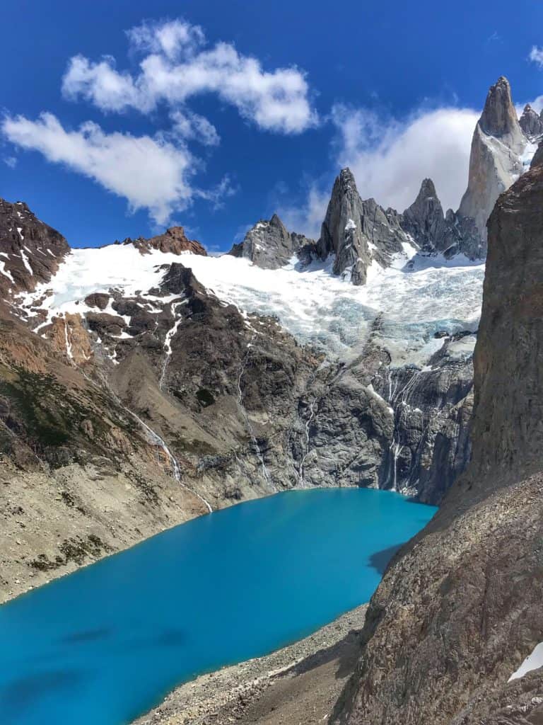
This hidden lagoon is inexplicably named Laguna Sucia (Dirty Lagoon)
Piedras Blancas the hanging glacier
Piedras Blancas hanging glacier.

Perito Moren

Perito Moreno Glacier
Moreno Glacier

Torres del Paine

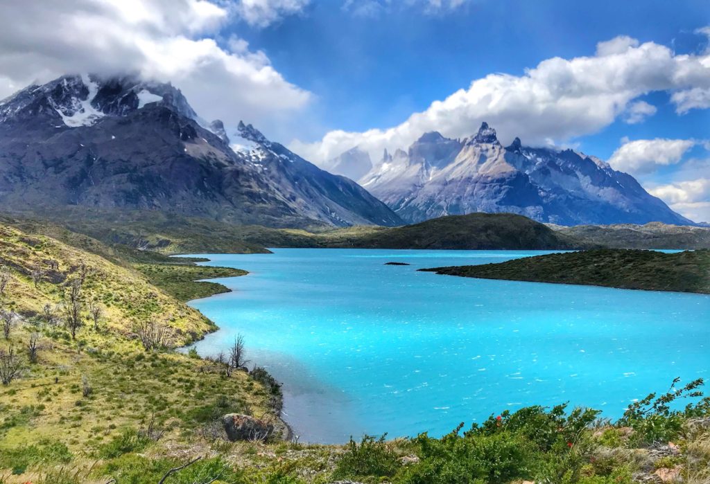
View from the Q end of the trail of Torres del Paine
View from the Q end of the trail of Torres del Paine (with “Cupcake Mountain” in the distance).
From the Q Trail Torres del Paine
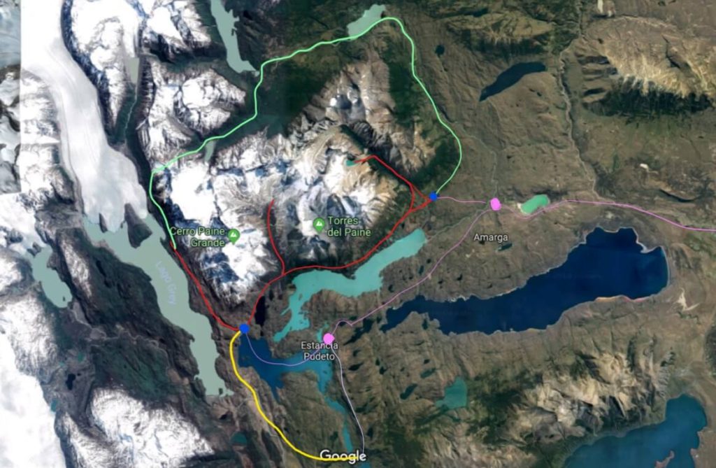
Google Satellite View of Torres del Paine hiking adapted by 43BlueDoors
Public transportation in light purple. W Trek in red, O Circuit in green and red, Q trail in yellow, green, and red.
Hanging Bridge in Torres del Paine
Fox in Torres del Paine
This beautiful fox curiously came over to us as we sat on the steps of Refugio Grey eating our lunch.
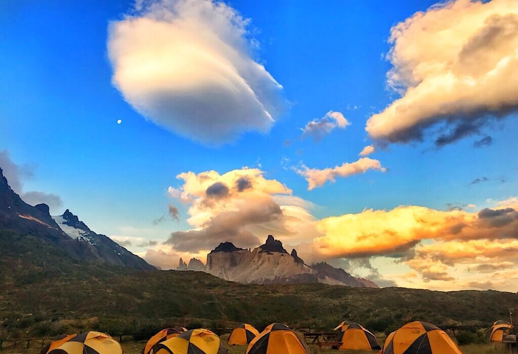
Torres del Paine campground
Torres del Paine campground on our first night.
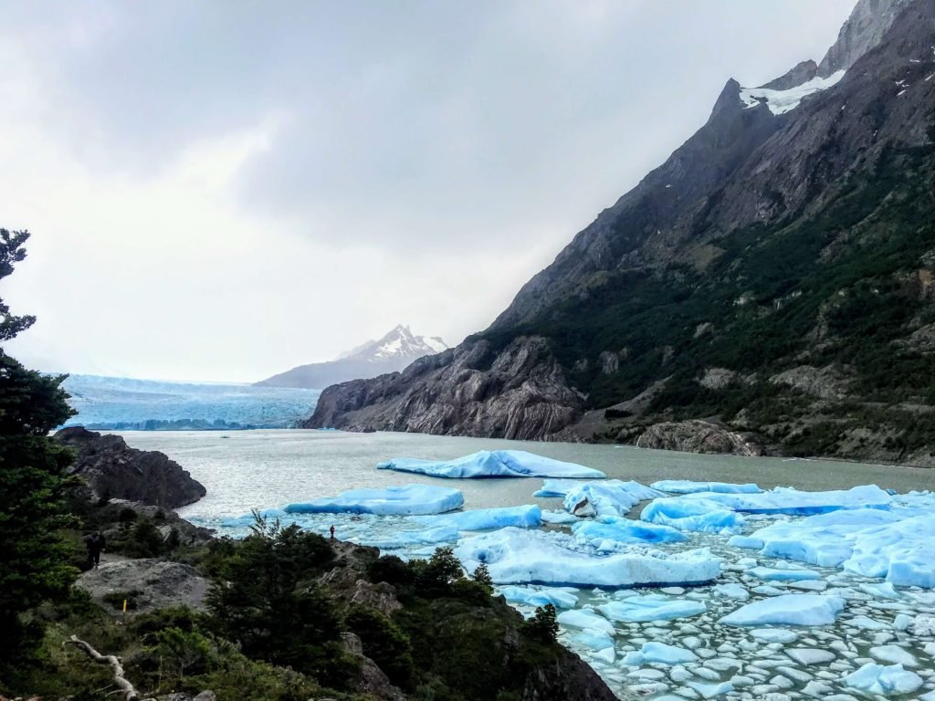
Glacier Grey in Torres del Paine
Glacier Grey now in the distance used to occupy the entire inlet shown in this picture.
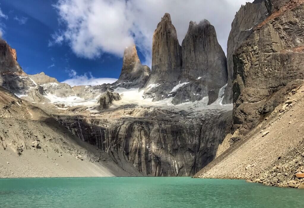
The towers of the Torres del Paine W Trek
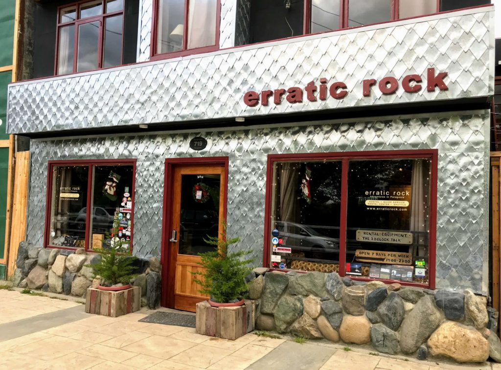
Erratic Rock storefront the best rental shop for Torres del Paine hikes
A must stop in Puerto Natalis if you are headed to Torres del Paine

Visit the Erratic Rock website to find out about their rates for gear rental. You can also find information about their guided programs and expeditions that they offer. They’re a hostel too, with competitive rates. The staff that we spoke to were trekkers and they knew what they were talking about.

Ushuaia
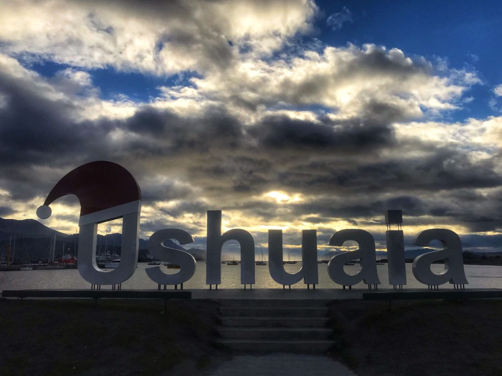
Ushuaia, "The end of the world" at the bottom of the Patagonia region
Ushuaia, “The end of the world”

4 thoughts on “Patagonia”

  1. Another very well written and informed post.
    past your blog post on to friends of ours that are in Santiago and going to do a 3 month car camping. There blog post is: Above us only sky. Nicky and Ian. Great folks.
    I especially liked your posting about the Marble Caves and Rio Tranquilo. I simply must visit that.

    Thanks guys and safe travels!

    Cheers,
    John

Leave a Comment

Your email address will not be published. Required fields are marked *

Scroll to Top
Privacy Overview

This website uses cookies so that we can provide you with the best user experience possible. Cookie information is stored in your browser and performs functions such as recognising you when you return to our website and helping our team to understand which sections of the website you find most interesting and useful.